


Silk Escape and Evasion Map (Halmahera)
Circa: 1940-1950s
Origin: Great Britain
Material: Printed Silk
Condition: Very Good
Dimensions: 32.5"x24"
Inventory number: TX4644C
$275
SOLD
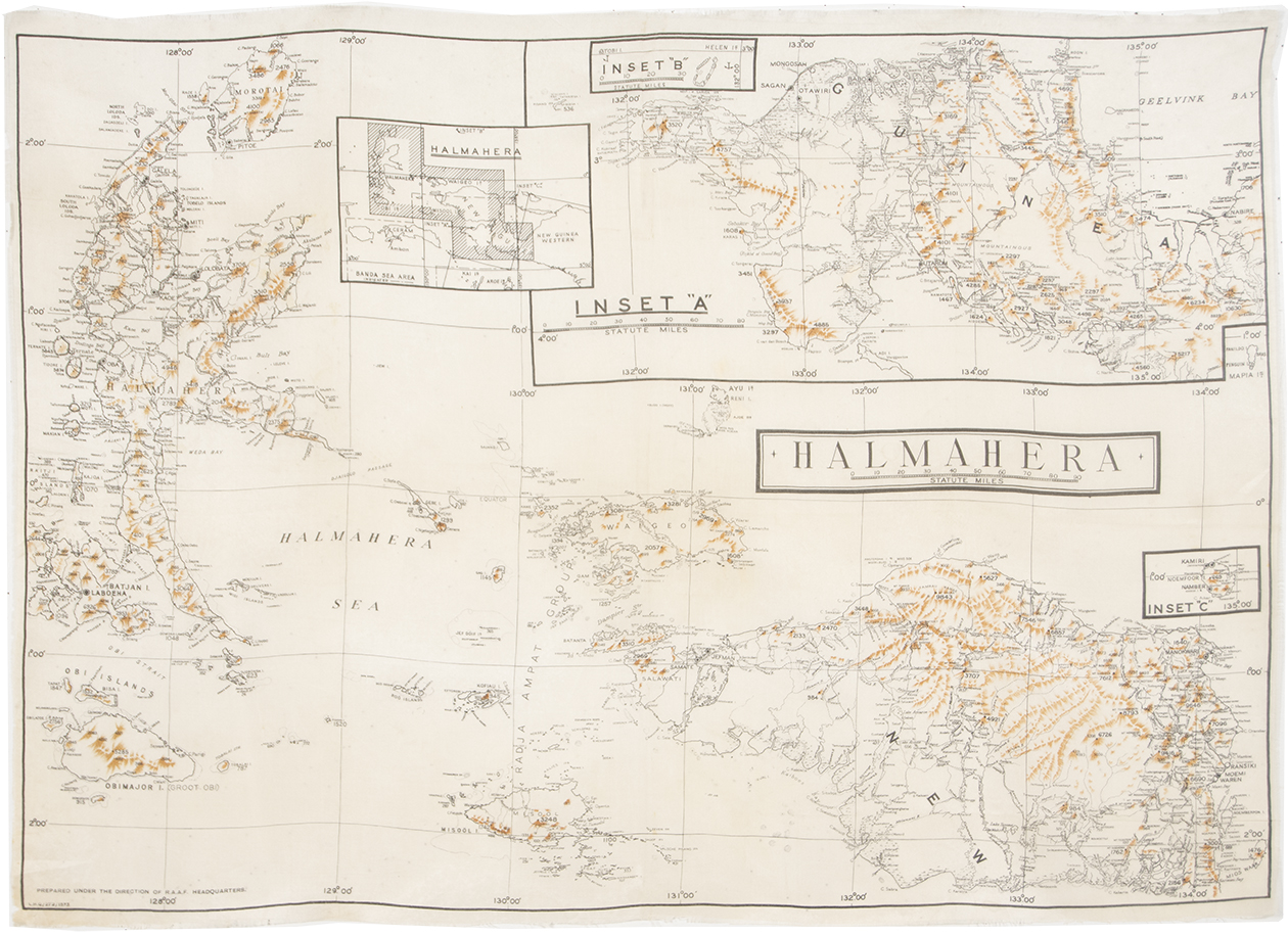
This silk escape and evasion map was made in the 1940s by the Royal Australian Air Force (R.A.A.F.) which formed an overseas headquarters in London during World War II. It was created for the British Royal Air Force and features Halmahera, Indonesia. Silk maps were originally developed during the war to help British soldiers escape enemy territory or POW camps, and continued to be produced after the War ended in both Great Britain and the U.S.
These silk maps were developed for MI9 by Charles Clayton Hutton to help British troops find their way back to their regiments if their planes were shot down in hostile territory or if they were captured in POW camps. Hutton had to find a material that was water-resistant, crease-resistant, and could be easily hidden and noiselessly manipulated. After extensive testing, Hutton found the perfect material: silk. Printed on silk, Hutton’s maps could be folded and hidden in boot heels, jacket linings, or even-most ingeniously-Monopoly game boards, and go completely undetected.
This map is single sided and highlights Halmahera, Indonesia and the surrounding area including New Guinea. The tightly woven silk allows for clear prints and small details.
Circa: 1940-1950s
Origin: Great Britain
Material: Printed Silk
Condition: Very Good
Dimensions: 32.5"x24"
Inventory number: TX4644C
$275
SOLD
Call: (646) 370-6801
E-mail us: yosi@sarajo.com